Kekova; It is a long and narrow island, 7.4 km long and approximately 500 m wide, lying opposite the villages of Üçağız (Teimiusa) and Kale (Simena). Its highest peak is 188 meters. The depth of the sea, which looks like a channel between it and the mainland opposite, is 105 meters. The name Kekova, with its recent currency, has also started to be used frequently in the fields of tourism and conservation. Boat tours from Çayağzı (Andriake) are called “Kekova tours”, and more importantly, the archaeological and natural areas around the island are called “Kekova Protected Area”.
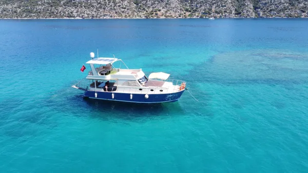
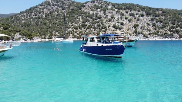
Kekova and its surroundings, which have the cleanest sea not only in Antalya but also in the entire Mediterranean world, owe this cleanliness to the fact that it has been taken under protection. The fact that it has received great appreciation from foreign visitors in this regard has been one of the sources of pride for the Republic of Turkey in its international conservation efforts.
The island has never had the characteristics of a city like the two small ports opposite it, but rather it was used as a shelter for sailors and a shipbuilding and repair base, protecting these two cities like a curtain against the Mediterranean. The ruins on the northwestern shores of the island, today called the “Sunken City”, have been used as a commercial and military base since at least the 5th century BC and are the most colorful corner of Kekova.
Tersane Bay is both a place to swim and the area with the most archaeological remains with its basilica apse from the Byzantine Period. The nearby area known as the Sunken City generally contains settlement remains carved into the mainland and foundations under water. The fact that only the structures in this corner are underwater can most likely be explained by the fact that this corner of the island tilted towards the mainland as a result of an earthquake.